IEM Provided RADAR Information for GIS
Our RadView project is an effort to get real time NWS NEXRAD information into GIS applications. We have no magic bullets for getting this information into GIS systems, but have a number of things for you to try out!
These services are provided with-out
warranty and with
program interfaces that may change or go away!
Quick links to specific products


News:
- 14 Jul 2017: Release the HRRR Model Forecasted Reflectivity services.
- 28 Jan 2012: Release the Single Site NEXRAD services.
- 26 Apr 2004: Add in links for the nationwide mosaics of NTP (storm total precip) and N1P (1 hour precip)!
- 13 Jan 2004: Release the nationwide mosiac WMS!
- 16 Sep 2003: Add US base reflectivity, remove Iowa NTP product.
- 04 Jul 2003: The mosaic base reflectivity plot has been greatly improved. The geo-referencing is nearly perfect!
- 01 Jul 2003: Initial release to the public.
NEXRAD + Mapserver Howto:
Here is a HOWTO on generating NEXRAD mosiacs with GEMPAK and then displaying them in Mapserver. Feedback is certainly welcome.
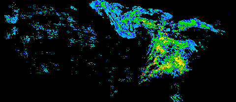
Geo-referenced Images:
Using geo-referenced images is probably the simpliest way of getting data into your GIS. Displaying timestamps and color bars are tricky business. The following URLs contain pure RASTER data layers.
| RADAR | EPSG Proj Code | Data Files | World File |
|---|---|---|---|
| US Base Reflectivity (N0R) Composite (generated every 5 minutes) |
4326 (Lat-Lon) |
Decimal Degree Units | |
| US Base Reflectivity (N0Q) Composite (generated every 5 minutes) |
4326 (Lat-Lon) |
Decimal Degree Units | |
| US Storm Total Precip (DTA) Composite (generated every 5 minutes) |
4326 (Lat-Lon) |
Decimal Degree Units | |
| US 1 Hour Precip (DAA) Composite (generated every 5 minutes) |
4326 (Lat-Lon) |
Decimal Degree Units |
Web Map Service (WMS):
WMS is a neat way to pull in images into your GIS, if your GIS can act as a WMS client. Describing WMS is beyond the scope of this page, but we have set up a WMS on our webserver. Point your WMS aware client at
https://mesonet.agron.iastate.edu/wms/radar.php?for Iowa imagery in EPSG: 26915 (NAD83 / UTM Zone 15N)
-or
Base Reflectivity:
https://mesonet.agron.iastate.edu/cgi-bin/wms/nexrad/n0r.cgi?
1 Hour Rainfall:
https://mesonet.agron.iastate.edu/cgi-bin/wms/nexrad/daa.cgi?
Storm Total Rainfall:
https://mesonet.agron.iastate.edu/cgi-bin/wms/nexrad/dta.cgi?
for United States imagery in EPSG: 4326 (unprojected lat-lon)
Note: The WMS service should be able to send back an image in the projection of your choice. This has worked during the limited testing done in house.
There are many free web WMS clients available on the Internet. Recently, ESRI has released an OGC extension supporting WMS for their free client called ArcExplorer. After downloading ArcExplorer, you will want to also download the Interoperability Extension. ESRI has also released an extension for ArcIMS!
Notes and Caveats:
- The storm total precipitation (NTP) product does not directly mosiac. Each NEXRAD site reports the value for a different timespan. Basically, once the radar detects rain, it will begin to accumulate the rainfall in the NTP product. Once it stops raining for an hour, the value is reset to zero. Since all sites reset at different times, you see the issue.